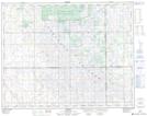
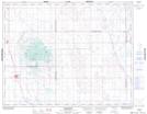
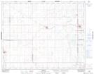
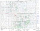
Maps showing Touchwood No. 248, Saskatchewan
Touchwood No. 248 is a Other municipal/district area - miscellaneous located in Saskatchewan.
- Latitude: 51° 15' 29'' North (decimal: 51.2581839)
- Longitude: 104° 16' 39'' West (decimal: -104.2775459)
- Topography Feature Category: Other municipal/district area - miscellaneous
- Geographical Feature: Rural Municipality
- Canadian Province/Territory: Saskatchewan
- Atlas of Canada Locator Map: Touchwood No. 248
- GPS Coordinate Locator Map: Touchwood No. 248 Lat/Long
Touchwood No. 248 NTS Map Sheets