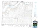
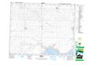
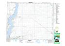
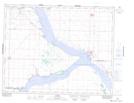
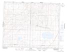
Maps showing Canaan No. 225, Saskatchewan
Canaan No. 225 is a Other municipal/district area - miscellaneous located in Saskatchewan.
- Latitude: 50° 51' 28'' North (decimal: 50.8576407)
- Longitude: 107° 3' 23'' West (decimal: -107.0565258)
- Topography Feature Category: Other municipal/district area - miscellaneous
- Geographical Feature: Rural Municipality
- Canadian Province/Territory: Saskatchewan
- Atlas of Canada Locator Map: Canaan No. 225
- GPS Coordinate Locator Map: Canaan No. 225 Lat/Long
Canaan No. 225 NTS Map Sheets
072J11 Main Centre Topographic Map at 1:50,000 scale
072J14 Beechy Topographic Map at 1:50,000 scale
072J15 Riverhurst Topographic Map at 1:50,000 scale
072O02 Elbow Topographic Map at 1:50,000 scale
072O03 Tullis Topographic Map at 1:50,000 scale
072J Swift Current Topographic Map at 1:250,000 scale
072O Rosetown Topographic Map at 1:250,000 scale
072J14 Beechy Topographic Map at 1:50,000 scale
072J15 Riverhurst Topographic Map at 1:50,000 scale
072O02 Elbow Topographic Map at 1:50,000 scale
072O03 Tullis Topographic Map at 1:50,000 scale
072J Swift Current Topographic Map at 1:250,000 scale
072O Rosetown Topographic Map at 1:250,000 scale