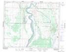
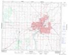
Maps showing Cory No. 344, Saskatchewan
Cory No. 344 is a Other municipal/district area - miscellaneous located in Saskatchewan.
- Latitude: 52° 0' North (decimal: 52.0000422)
- Longitude: 106° 40' West (decimal: -106.6672797)
- Topography Feature Category: Other municipal/district area - miscellaneous
- Geographical Feature: Rural Municipality
- Canadian Province/Territory: Saskatchewan
- GPS Coordinate Locator Map: Cory No. 344 Lat/Long
Cory No. 344 NTS Map Sheets