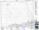
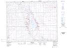
Maps showing Royal Canadian No. 261, Saskatchewan
Royal Canadian No. 261 is a Other municipal/district area - miscellaneous located in Saskatchewan.
- Latitude: 51° 10' North (decimal: 51.1667204)
- Longitude: 109° 30' West (decimal: -109.5007631)
- Topography Feature Category: Other municipal/district area - miscellaneous
- Geographical Feature: Rural Municipality
- Canadian Province/Territory: Saskatchewan
- GPS Coordinate Locator Map: Royal Canadian No. 261 Lat/Long
Royal Canadian No. 261 NTS Map Sheets