Maps showing Coulee No. 136, Saskatchewan
Coulee No. 136 is a Other municipal/district area - miscellaneous located in Saskatchewan.
- Latitude: 50° 10' 44'' North (decimal: 50.1790147)
- Longitude: 107° 26' 30'' West (decimal: -107.4417051)
- Topography Feature Category: Other municipal/district area - miscellaneous
- Geographical Feature: Rural Municipality
- Canadian Province/Territory: Saskatchewan
- Atlas of Canada Locator Map: Coulee No. 136
- GPS Coordinate Locator Map: Coulee No. 136 Lat/Long
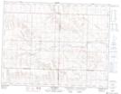
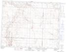
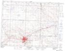
Coulee No. 136 NTS Map Sheets