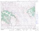
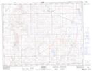
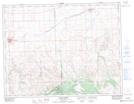
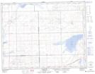
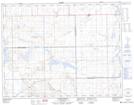
Maps showing Maple Creek No. 111, Saskatchewan
Maple Creek No. 111 is a Other municipal/district area - miscellaneous located in Saskatchewan.
- Latitude: 49° 42' 6'' North (decimal: 49.7017137)
- Longitude: 109° 38' 13'' West (decimal: -109.6369751)
- Topography Feature Category: Other municipal/district area - miscellaneous
- Geographical Feature: Rural Municipality
- Canadian Province/Territory: Saskatchewan
- Atlas of Canada Locator Map: Maple Creek No. 111
- GPS Coordinate Locator Map: Maple Creek No. 111 Lat/Long
Maple Creek No. 111 NTS Map Sheets
072F12 Hungerford Lakes Topographic Map at 1:50,000 scale
072F13 Kincorth Topographic Map at 1:50,000 scale
072F14 Maple Creek Topographic Map at 1:50,000 scale
072K03 Crane Lake Topographic Map at 1:50,000 scale
072K04 Golden Prairie Topographic Map at 1:50,000 scale
072F Cypress Lake Topographic Map at 1:250,000 scale
072K Prelate Topographic Map at 1:250,000 scale