Canada Topographic Maps

Maryfield No. 91 Topo Maps

Topography maps and Latitude/Longitude Location

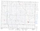
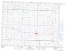
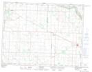
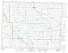
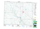
Maps showing Maryfield No. 91, Saskatchewan

Maryfield No. 91 is a Other municipal/district area - miscellaneous located in Saskatchewan.

  • Latitude: 49° 52' 47'' North   (decimal: 49.8796448)
  • Longitude: 101° 35' 14'' West   (decimal: -101.5872578)
  • Topography Feature Category: Other municipal/district area - miscellaneous
  • Geographical Feature: Rural Municipality
  • Canadian Province/Territory: Saskatchewan
  • Atlas of Canada Locator Map: Maryfield No. 91
  • GPS Coordinate Locator Map: Maryfield No. 91 Lat/Long

Maryfield No. 91 NTS Map Sheets

062F11 Reston Topographic Map at 1:50,000 scale

062F12 Redvers Topographic Map at 1:50,000 scale

062F13 Maryfield Topographic Map at 1:50,000 scale

062F14 Elkhorn Topographic Map at 1:50,000 scale

062K04 Moosomin Topographic Map at 1:50,000 scale

062F Virden Topographic Map at 1:250,000 scale

062K Riding Mountain Topographic Map at 1:250,000 scale

 
Buy Topographic Maps DVD
Newsletter Sign-up

Yes, I want to receive map store discounts.


Bookmark and Share