Canada Topographic Maps

Excel No. 71 Topo Maps

Topography maps and Latitude/Longitude Location

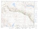
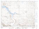
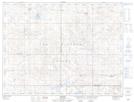
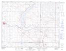
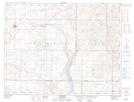
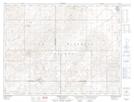
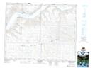
Maps showing Excel No. 71, Saskatchewan

Excel No. 71 is a Other municipal/district area - miscellaneous located in Saskatchewan.

  • Latitude: 49° 36' 19'' North   (decimal: 49.6052676)
  • Longitude: 105° 26' 39'' West   (decimal: -105.4442998)
  • Topography Feature Category: Other municipal/district area - miscellaneous
  • Geographical Feature: Rural Municipality
  • Canadian Province/Territory: Saskatchewan
  • Atlas of Canada Locator Map: Excel No. 71
  • GPS Coordinate Locator Map: Excel No. 71 Lat/Long

Excel No. 71 NTS Map Sheets

072H05 Willow Bunch Topographic Map at 1:50,000 scale

072H06 Bengough Topographic Map at 1:50,000 scale

072H11 Horizon Topographic Map at 1:50,000 scale

072H12 Assiniboia Topographic Map at 1:50,000 scale

072H13 Mossbank Topographic Map at 1:50,000 scale

072H14 Spring Valley Topographic Map at 1:50,000 scale

072J11 Main Centre Topographic Map at 1:50,000 scale

072H Willow Bunch Lake Topographic Map at 1:250,000 scale

072J Swift Current Topographic Map at 1:250,000 scale

 
Buy Topographic Maps DVD
Newsletter Sign-up

Yes, I want to receive map store discounts.


Bookmark and Share