Canada Topographic Maps

White Valley No. 49 Topo Maps

Topography maps and Latitude/Longitude Location

Maps showing White Valley No. 49, 0, Saskatchewan

White Valley No. 49 is a Other municipal/district area - miscellaneous located in 0, Saskatchewan.

  • Latitude: 49° 36' 4'' North   (decimal: 49.6010758)
  • Longitude: 109° 4' 21'' West   (decimal: -109.0723845)
  • Topography Feature Category: Other municipal/district area - miscellaneous
  • Geographical Feature: Rural Municipality
  • Canadian Province/Territory: Saskatchewan
  • Location: 0
  • Atlas of Canada Locator Map: White Valley No. 49
  • GPS Coordinate Locator Map: White Valley No. 49 Lat/Long

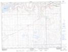
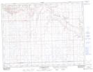
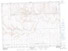
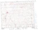
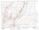
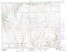
White Valley No. 49 NTS Map Sheets

072F06 Ravenscrag Topographic Map at 1:50,000 scale

072F07 Eastbrook Coulee Topographic Map at 1:50,000 scale

072F08 Badland Lake Topographic Map at 1:50,000 scale

072F09 Shaunavon Topographic Map at 1:50,000 scale

072F10 Dollard Topographic Map at 1:50,000 scale

072F11 Fairwell Creek Topographic Map at 1:50,000 scale

072F Cypress Lake Topographic Map at 1:250,000 scale

 
Buy Topographic Maps DVD
Newsletter Sign-up

Yes, I want to receive map store discounts.


Bookmark and Share