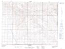
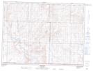
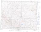
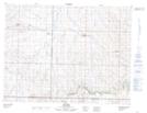
Maps showing Old Post No. 43, Saskatchewan
Old Post No. 43 is a Other municipal/district area - miscellaneous located in Saskatchewan.
- Latitude: 49° 19' 35'' North (decimal: 49.3264429)
- Longitude: 106° 16' 6'' West (decimal: -106.2682049)
- Topography Feature Category: Other municipal/district area - miscellaneous
- Geographical Feature: Rural Municipality
- Canadian Province/Territory: Saskatchewan
- Atlas of Canada Locator Map: Old Post No. 43
- GPS Coordinate Locator Map: Old Post No. 43 Lat/Long
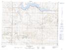
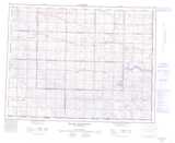
Old Post No. 43 NTS Map Sheets