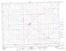
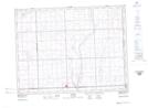
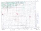
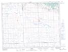
Maps showing Browning No. 34, Saskatchewan
Browning No. 34 is a Other municipal/district area - miscellaneous located in Saskatchewan.
- Latitude: 49° 23' 21'' North (decimal: 49.3890716)
- Longitude: 102° 39' 1'' West (decimal: -102.6503955)
- Topography Feature Category: Other municipal/district area - miscellaneous
- Geographical Feature: Rural Municipality
- Canadian Province/Territory: Saskatchewan
- Atlas of Canada Locator Map: Browning No. 34
- GPS Coordinate Locator Map: Browning No. 34 Lat/Long
Browning No. 34 NTS Map Sheets