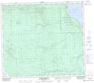
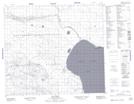
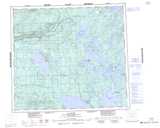
Maps showing Michel Village, 81-20-W3, Saskatchewan
Michel Village is a Hamlet located in 81-20-W3, Saskatchewan and has an elevation of 429 meters.
- Latitude: 56° 0' 31'' North (decimal: 56.0086056)
- Longitude: 109° 6' 40'' West (decimal: -109.1112416)
- Topography Feature Category: Hamlet
- Geographical Feature: Northern Hamlet
- Canadian Province/Territory: Saskatchewan
- Elevation: 429 meters
- Location: 81-20-W3
- Atlas of Canada Locator Map: Michel Village
- GPS Coordinate Locator Map: Michel Village Lat/Long
Michel Village NTS Map Sheets