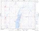
Maps showing Bird Island, Saskatchewan
Bird Island is a Island located in Saskatchewan and has an elevation of 500 meters.
- Latitude: 51° 22' North (decimal: 51.3667026)
- Longitude: 105° 14' West (decimal: -105.2339132)
- Topography Feature Category: Island
- Geographical Feature: Island
- Canadian Province/Territory: Saskatchewan
- Elevation: 500 meters
- Atlas of Canada Locator Map: Bird Island
- GPS Coordinate Locator Map: Bird Island Lat/Long