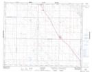
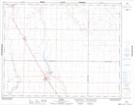
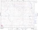
Maps showing Davidson, 33-26-29-W2, Saskatchewan
Davidson is a Town located in 33-26-29-W2, Saskatchewan and has an elevation of 613 meters.
- Latitude: 51° 15' 33'' North (decimal: 51.2591610)
- Longitude: 105° 59' 9'' West (decimal: -105.9859314)
- Topography Feature Category: Town
- Geographical Feature: Town
- Canadian Province/Territory: Saskatchewan
- Elevation: 613 meters
- Location: 33-26-29-W2
- Atlas of Canada Locator Map: Davidson
- GPS Coordinate Locator Map: Davidson Lat/Long
Davidson NTS Map Sheets