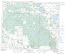
Maps showing Wawgaw Creek, 48-8-W3, Saskatchewan
Wawgaw Creek is a River located in 48-8-W3, Saskatchewan.
- Latitude: 53° 7' North (decimal: 53.1167155)
- Longitude: 107° 2' West (decimal: -107.0339146)
- Topography Feature Category: River
- Geographical Feature: Creek
- Canadian Province/Territory: Saskatchewan
- Location: 48-8-W3
- GPS Coordinate Locator Map: Wawgaw Creek Lat/Long
Wawgaw Creek NTS Map Sheets