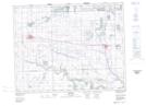
Maps showing Weed Hills, Saskatchewan
Weed Hills is a Mountain located in Saskatchewan and has an elevation of 673 meters.
- Latitude: 50° 15' North (decimal: 50.2500184)
- Longitude: 102° 55' West (decimal: -102.9171766)
- Topography Feature Category: Mountain
- Geographical Feature: Hills
- Canadian Province/Territory: Saskatchewan
- Elevation: 673 meters
- Atlas of Canada Locator Map: Weed Hills
- GPS Coordinate Locator Map: Weed Hills Lat/Long