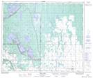
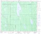
Maps showing Christie Bay, Saskatchewan
Christie Bay is a Bay located in Saskatchewan and has an elevation of 517 meters.
- Latitude: 53° 45' North (decimal: 53.7500499)
- Longitude: 105° 56' West (decimal: -105.9338279)
- Topography Feature Category: Bay
- Geographical Feature: Bay
- Canadian Province/Territory: Saskatchewan
- Elevation: 517 meters
- Atlas of Canada Locator Map: Christie Bay
- GPS Coordinate Locator Map: Christie Bay Lat/Long
Christie Bay NTS Map Sheets