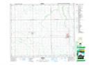
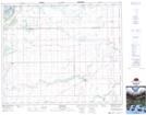
Maps showing Sweetwater Creek, 47-17-W2, Saskatchewan
Sweetwater Creek is a River located in 47-17-W2, Saskatchewan and has an elevation of 466 meters.
- Latitude: 53° 3' North (decimal: 53.0500168)
- Longitude: 104° 23' West (decimal: -104.3838083)
- Topography Feature Category: River
- Geographical Feature: Creek
- Canadian Province/Territory: Saskatchewan
- Elevation: 466 meters
- Location: 47-17-W2
- Atlas of Canada Locator Map: Sweetwater Creek
- GPS Coordinate Locator Map: Sweetwater Creek Lat/Long
Sweetwater Creek NTS Map Sheets