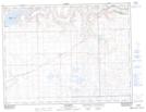
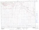
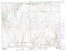
Maps showing Fairwell Creek, 29-6-24-W3, Saskatchewan
Fairwell Creek is a River located in 29-6-24-W3, Saskatchewan and has an elevation of 1067 meters.
- Latitude: 49° 30' North (decimal: 49.5000227)
- Longitude: 109° 13' West (decimal: -109.2173998)
- Topography Feature Category: River
- Geographical Feature: Creek
- Canadian Province/Territory: Saskatchewan
- Elevation: 1067 meters
- Location: 29-6-24-W3
- Atlas of Canada Locator Map: Fairwell Creek
- GPS Coordinate Locator Map: Fairwell Creek Lat/Long
Fairwell Creek NTS Map Sheets