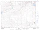
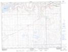
Maps showing Cypress Lake Recreation Site, 7-6-26-W3, Saskatchewan
Cypress Lake Recreation Site is a Conservation area located in 7-6-26-W3, Saskatchewan and has an elevation of 989 meters.
- Latitude: 49° 27' 20'' North (decimal: 49.4554478)
- Longitude: 109° 30' 4'' West (decimal: -109.5011527)
- Topography Feature Category: Conservation area
- Geographical Feature: Recreation Site
- Canadian Province/Territory: Saskatchewan
- Elevation: 989 meters
- Location: 7-6-26-W3
- Atlas of Canada Locator Map: Cypress Lake Recreation Site
- GPS Coordinate Locator Map: Cypress Lake Recreation Site Lat/Long
Cypress Lake Recreation Site NTS Map Sheets