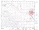
Maps showing Sunningdale, Saskatchewan
Sunningdale is a Unincorporated area located in Saskatchewan and has an elevation of 559 meters.
- Latitude: 50° 25' North (decimal: 50.4166934)
- Longitude: 105° 33' West (decimal: -105.5505739)
- Topography Feature Category: Unincorporated area
- Geographical Feature: Urban Community
- Canadian Province/Territory: Saskatchewan
- Elevation: 559 meters
- Atlas of Canada Locator Map: Sunningdale
- GPS Coordinate Locator Map: Sunningdale Lat/Long