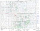
Maps showing Touchwood Hills Provincial Historic Park, Saskatchewan
Touchwood Hills Provincial Historic Park is a Conservation area located in Saskatchewan.
- Latitude: 51° 21' 45'' North (decimal: 51.3625352)
- Longitude: 104° 5' 57'' West (decimal: -104.0991502)
- Topography Feature Category: Conservation area
- Geographical Feature: Provincial Historic Park
- Canadian Province/Territory: Saskatchewan
- GPS Coordinate Locator Map: Touchwood Hills Provincial Historic Park Lat/Long