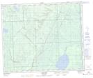
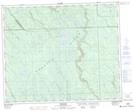
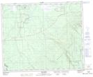
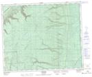
Maps showing Wildcat Hill Provincial Park, Saskatchewan
Wildcat Hill Provincial Park is a Conservation area located in Saskatchewan.
- Latitude: 53° 15' 14'' North (decimal: 53.2538213)
- Longitude: 102° 29' 3'' West (decimal: -102.4842863)
- Topography Feature Category: Conservation area
- Geographical Feature: Provincial Park
- Canadian Province/Territory: Saskatchewan
- Atlas of Canada Locator Map: Wildcat Hill Provincial Park
- GPS Coordinate Locator Map: Wildcat Hill Provincial Park Lat/Long
Wildcat Hill Provincial Park NTS Map Sheets