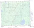
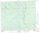
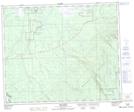
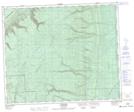
Maps showing Wildcat Hill Provincial Protected Area, Saskatchewan
Wildcat Hill Provincial Protected Area is a Conservation area located in Saskatchewan.
- Latitude: 53° 14' 40'' North (decimal: 53.2444742)
- Longitude: 102° 28' 32'' West (decimal: -102.4754709)
- Topography Feature Category: Conservation area
- Geographical Feature: Protected Area
- Canadian Province/Territory: Saskatchewan
- GPS Coordinate Locator Map: Wildcat Hill Provincial Protected Area Lat/Long
Wildcat Hill Provincial Protected Area NTS Map Sheets