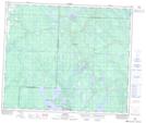
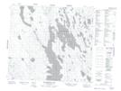
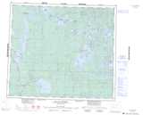
Maps showing Island Lake Recreation Site, Saskatchewan
Island Lake Recreation Site is a Conservation area located in Saskatchewan.
- Latitude: 53° 58' 28'' North (decimal: 53.9745459)
- Longitude: 107° 44' 17'' West (decimal: -107.7381081)
- Topography Feature Category: Conservation area
- Geographical Feature: Recreation Site
- Canadian Province/Territory: Saskatchewan
- Atlas of Canada Locator Map: Island Lake Recreation Site
- GPS Coordinate Locator Map: Island Lake Recreation Site Lat/Long
Island Lake Recreation Site NTS Map Sheets