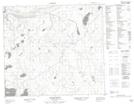
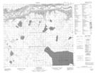
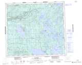
Maps showing La Loche Indian Reserve 222, 15-85-19-W3, Saskatchewan
La Loche Indian Reserve 222 is a Indian Reserve located in 15-85-19-W3, Saskatchewan.
- Latitude: 56° 32' 25'' North (decimal: 56.5403867)
- Longitude: 109° 27' 48'' West (decimal: -109.4632914)
- Topography Feature Category: Indian Reserve
- Geographical Feature: Indian Reserve
- Canadian Province/Territory: Saskatchewan
- Location: 15-85-19-W3
- GPS Coordinate Locator Map: La Loche Indian Reserve 222 Lat/Long
La Loche Indian Reserve 222 NTS Map Sheets