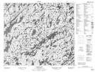
Maps showing Laing Island, Saskatchewan
Laing Island is a Cape located in Saskatchewan.
- Latitude: 55° 49' North (decimal: 55.8167401)
- Longitude: 104° 45' West (decimal: -104.7504510)
- Topography Feature Category: Cape
- Geographical Feature: Peninsula
- Canadian Province/Territory: Saskatchewan
- GPS Coordinate Locator Map: Laing Island Lat/Long
Laing Island NTS Map Sheets