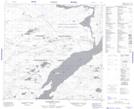
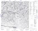
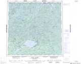
Maps showing Chicken 224, 116, 117, 118, 119-20, 21, 22, 23-W2, Saskatchewan
Chicken 224 is a Indian Reserve located in 116, 117, 118, 119-20, 21, 22, 23-W2, Saskatchewan.
- Latitude: 59° 11' 23'' North (decimal: 59.1896080)
- Longitude: 105° 38' 7'' West (decimal: -105.6352980)
- Topography Feature Category: Indian Reserve
- Geographical Feature: Indian Reserve - Réserve indienne
- Canadian Province/Territory: Saskatchewan
- Location: 116, 117, 118, 119-20, 21, 22, 23-W2
- Atlas of Canada Locator Map: Chicken 224
- GPS Coordinate Locator Map: Chicken 224 Lat/Long
Chicken 224 NTS Map Sheets