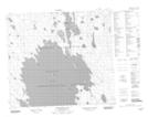
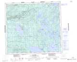
Maps showing Churchill Lake 193A, 82-15-W3, Saskatchewan
Churchill Lake 193A is a Indian Reserve located in 82-15-W3, Saskatchewan.
- Latitude: 56° 8' 31'' North (decimal: 56.1419500)
- Longitude: 108° 12' 7'' West (decimal: -108.2020087)
- Topography Feature Category: Indian Reserve
- Geographical Feature: Indian Reserve - Réserve indienne
- Canadian Province/Territory: Saskatchewan
- Location: 82-15-W3
- Atlas of Canada Locator Map: Churchill Lake 193A
- GPS Coordinate Locator Map: Churchill Lake 193A Lat/Long
Churchill Lake 193A NTS Map Sheets