Maps showing Nekaneet Cree Nation, 1,12,13-8,9-24,25-W3, Saskatchewan
Nekaneet Cree Nation is a Indian Reserve located in 1,12,13-8,9-24,25-W3, Saskatchewan.
- Latitude: 49° 40' 57'' North (decimal: 49.6825307)
- Longitude: 109° 30' 17'' West (decimal: -109.5046075)
- Topography Feature Category: Indian Reserve
- Geographical Feature: Indian Reserve - Réserve indienne
- Canadian Province/Territory: Saskatchewan
- Location: 1,12,13-8,9-24,25-W3
- Atlas of Canada Locator Map: Nekaneet Cree Nation
- GPS Coordinate Locator Map: Nekaneet Cree Nation Lat/Long
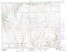
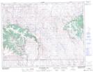
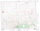
Nekaneet Cree Nation NTS Map Sheets