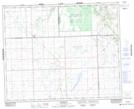
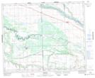
Maps showing Sweetgrass 113, 15,16,21,22-43,44-19-W3, Saskatchewan
Sweetgrass 113 is a Indian Reserve located in 15,16,21,22-43,44-19-W3, Saskatchewan.
- Latitude: 52° 49' 2'' North (decimal: 52.8172673)
- Longitude: 108° 33' 5'' West (decimal: -108.5513662)
- Topography Feature Category: Indian Reserve
- Geographical Feature: Indian Reserve - Réserve indienne
- Canadian Province/Territory: Saskatchewan
- Location: 15,16,21,22-43,44-19-W3
- Atlas of Canada Locator Map: Sweetgrass 113
- GPS Coordinate Locator Map: Sweetgrass 113 Lat/Long
Sweetgrass 113 NTS Map Sheets