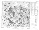
Maps showing English River 192H, Saskatchewan
English River 192H is a Indian Reserve located in Saskatchewan.
- Latitude: 56° 20' 5'' North (decimal: 56.3347162)
- Longitude: 107° 20' 9'' West (decimal: -107.3358185)
- Topography Feature Category: Indian Reserve
- Geographical Feature: Indian Reserve - Réserve indienne
- Canadian Province/Territory: Saskatchewan
- Atlas of Canada Locator Map: English River 192H
- GPS Coordinate Locator Map: English River 192H Lat/Long
English River 192H NTS Map Sheets