Canada Topographic Maps

Réserve indienne Blackfoot 146 Topo Maps

Topography maps and Latitude/Longitude Location

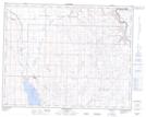
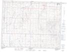
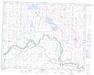
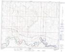
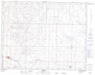
Maps showing Réserve indienne Blackfoot 146, Alberta

Réserve indienne Blackfoot 146 is a Indian Reserve located in Alberta.

  • Latitude: 50° 47' 25'' North   (decimal: 50.7903000)
  • Longitude: 112° 56' 35'' West   (decimal: -112.9430999)
  • Topography Feature Category: Indian Reserve
  • Geographical Feature: Réserve indienne
  • Canadian Province/Territory: Alberta
  • GPS Coordinate Locator Map: Réserve indienne Blackfoot 146 Lat/Long

Réserve indienne Blackfoot 146 NTS Map Sheets

082I10 Queenstown Topographic Map at 1:50,000 scale

082I11 Arrowwood Topographic Map at 1:50,000 scale

082I14 Gleichen Topographic Map at 1:50,000 scale

082I15 Cluny Topographic Map at 1:50,000 scale

082I16 Bassano Topographic Map at 1:50,000 scale

082I Gleichen Topographic Map at 1:250,000 scale

 
Buy Topographic Maps DVD
Newsletter Sign-up

Yes, I want to receive map store discounts.


Bookmark and Share