Canada Topographic Maps

County of Two Hills No. 21 Topo Maps

Topography maps and Latitude/Longitude Location

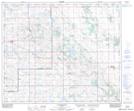
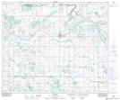
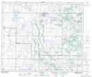
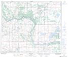
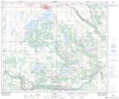
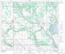
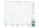
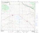
Maps showing County of Two Hills No. 21, 55-11-W4, Alberta

County of Two Hills No. 21 is a Major municipal/district area - major agglomeration located in 55-11-W4, Alberta.

  • Latitude: 53° 42' 57'' North   (decimal: 53.7158332)
  • Longitude: 111° 31' 31'' West   (decimal: -111.5252778)
  • Topography Feature Category: Major municipal/district area - major agglomeration
  • Geographical Feature: Municipal District
  • Canadian Province/Territory: Alberta
  • Location: 55-11-W4
  • Atlas of Canada Locator Map: County of Two Hills No. 21
  • GPS Coordinate Locator Map: County of Two Hills No. 21 Lat/Long

County of Two Hills No. 21 NTS Map Sheets

073E10 Clandonald Topographic Map at 1:50,000 scale

073E11 Myrnam Topographic Map at 1:50,000 scale

073E12 Two Hills Topographic Map at 1:50,000 scale

073E13 Hairy Hill Topographic Map at 1:50,000 scale

073E14 St Paul Topographic Map at 1:50,000 scale

073E15 Elk Point Topographic Map at 1:50,000 scale

083H09 Mundare Topographic Map at 1:50,000 scale

083H16 Willingdon Topographic Map at 1:50,000 scale

073E Vermilion Topographic Map at 1:250,000 scale

083H Edmonton Topographic Map at 1:250,000 scale

 
Buy Topographic Maps DVD
Newsletter Sign-up

Yes, I want to receive map store discounts.


Bookmark and Share