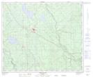
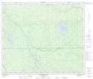
Maps showing Iosegun Lake, 63-19,20-W5, Alberta
Iosegun Lake is a Lake located in 63-19,20-W5, Alberta and has an elevation of 776 meters.
- Latitude: 54° 28' 37'' North (decimal: 54.4769444)
- Longitude: 116° 50' 57'' West (decimal: -116.8491666)
- Topography Feature Category: Lake
- Geographical Feature: Lake
- Canadian Province/Territory: Alberta
- Elevation: 776 meters
- Location: 63-19,20-W5
- Atlas of Canada Locator Map: Iosegun Lake
- GPS Coordinate Locator Map: Iosegun Lake Lat/Long
Iosegun Lake NTS Map Sheets