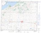
Maps showing Pilot Bluff, 40-19-W4, Alberta
Pilot Bluff is a Mountain located in 40-19-W4, Alberta.
- Latitude: 52° 26' 16'' North (decimal: 52.4377777)
- Longitude: 112° 41' 49'' West (decimal: -112.6969444)
- Topography Feature Category: Mountain
- Geographical Feature: Bluff
- Canadian Province/Territory: Alberta
- Location: 40-19-W4
- Atlas of Canada Locator Map: Pilot Bluff
- GPS Coordinate Locator Map: Pilot Bluff Lat/Long