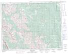
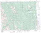
Maps showing Allsmoke Mountain, 31-20-5-W5, Alberta
Allsmoke Mountain is a Mountain located in 31-20-5-W5, Alberta and has an elevation of 1959 meters.
- Latitude: 50° 44' 38'' North (decimal: 50.7438888)
- Longitude: 114° 41' 22'' West (decimal: -114.6894444)
- Topography Feature Category: Mountain
- Geographical Feature: Mountain
- Canadian Province/Territory: Alberta
- Elevation: 1959 meters
- Location: 31-20-5-W5
- Atlas of Canada Locator Map: Allsmoke Mountain
- GPS Coordinate Locator Map: Allsmoke Mountain Lat/Long
Allsmoke Mountain NTS Map Sheets