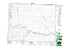
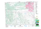
Maps showing Pine Creek, 4-22-29-W4, Alberta
Pine Creek is a River located in 4-22-29-W4, Alberta and has an elevation of 996 meters.
- Latitude: 50° 51' North (decimal: 50.8499999)
- Longitude: 113° 58' West (decimal: -113.9667000)
- Topography Feature Category: River
- Geographical Feature: Creek
- Canadian Province/Territory: Alberta
- Elevation: 996 meters
- Location: 4-22-29-W4
- Atlas of Canada Locator Map: Pine Creek
- GPS Coordinate Locator Map: Pine Creek Lat/Long
Pine Creek NTS Map Sheets