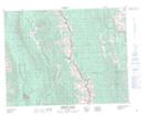
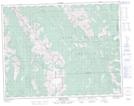
Maps showing Plateau Creek, 15-5-W5, Alberta
Plateau Creek is a River located in 15-5-W5, Alberta and has an elevation of 1850 meters.
- Latitude: 50° 16' 54'' North (decimal: 50.2816666)
- Longitude: 114° 33' 46'' West (decimal: -114.5627777)
- Topography Feature Category: River
- Geographical Feature: Creek
- Canadian Province/Territory: Alberta
- Elevation: 1850 meters
- Location: 15-5-W5
- Atlas of Canada Locator Map: Plateau Creek
- GPS Coordinate Locator Map: Plateau Creek Lat/Long
Plateau Creek NTS Map Sheets