Canada Topographic Maps

Edmonton Topo Maps

Topography maps and Latitude/Longitude Location

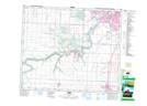
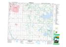
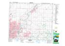
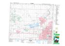
Maps showing Edmonton, Alberta

Edmonton is a City located in Alberta and has an elevation of 673 meters.

  • Latitude: 53° 32' 4'' North   (decimal: 53.5344444)
  • Longitude: 113° 29' 25'' West   (decimal: -113.4902778)
  • Topography Feature Category: City
  • Geographical Feature: City
  • Canadian Province/Territory: Alberta
  • Elevation: 673 meters
  • Atlas of Canada Locator Map: Edmonton
  • GPS Coordinate Locator Map: Edmonton Lat/Long

Edmonton NTS Map Sheets

083H05 Leduc Topographic Map at 1:50,000 scale

083H06 Cooking Lake Topographic Map at 1:50,000 scale

083H11 Edmonton Topographic Map at 1:50,000 scale

083H12 St Albert Topographic Map at 1:50,000 scale

083H Edmonton Topographic Map at 1:250,000 scale

 
Buy Topographic Maps DVD
Newsletter Sign-up

Yes, I want to receive map store discounts.


Bookmark and Share