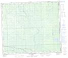
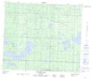
Maps showing Fawcett River, 27-72-2-W5, Alberta
Fawcett River is a River located in 27-72-2-W5, Alberta and has an elevation of 602 meters.
- Latitude: 55° 15' 40'' North (decimal: 55.2611110)
- Longitude: 114° 13' 17'' West (decimal: -114.2213889)
- Topography Feature Category: River
- Geographical Feature: River
- Canadian Province/Territory: Alberta
- Elevation: 602 meters
- Location: 27-72-2-W5
- Atlas of Canada Locator Map: Fawcett River
- GPS Coordinate Locator Map: Fawcett River Lat/Long
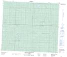
Fawcett River NTS Map Sheets