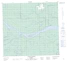
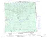
Maps showing Donnelly Island, 107,108-8-W5, Alberta
Donnelly Island is a Island located in 107,108-8-W5, Alberta.
- Latitude: 58° 20' 45'' North (decimal: 58.3458333)
- Longitude: 115° 14' 49'' West (decimal: -115.2469444)
- Topography Feature Category: Island
- Geographical Feature: Island
- Canadian Province/Territory: Alberta
- Location: 107,108-8-W5
- Atlas of Canada Locator Map: Donnelly Island
- GPS Coordinate Locator Map: Donnelly Island Lat/Long
Donnelly Island NTS Map Sheets