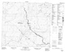
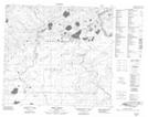
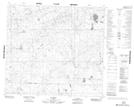
Maps showing Dunkirk River, 31-89-16-W4, Alberta
Dunkirk River is a River located in 31-89-16-W4, Alberta.
- Latitude: 56° 45' 52'' North (decimal: 56.7644444)
- Longitude: 112° 32' 43'' West (decimal: -112.5452778)
- Topography Feature Category: River
- Geographical Feature: River
- Canadian Province/Territory: Alberta
- Location: 31-89-16-W4
- Atlas of Canada Locator Map: Dunkirk River
- GPS Coordinate Locator Map: Dunkirk River Lat/Long
Dunkirk River NTS Map Sheets
084A15 Dunkirk River Topographic Map at 1:50,000 scale
084H02 Snipe Creek Topographic Map at 1:50,000 scale
084H03 No Title Topographic Map at 1:50,000 scale
084H06 No Title Topographic Map at 1:50,000 scale
084A Algar Lake Topographic Map at 1:250,000 scale
084H Namur Lake Topographic Map at 1:250,000 scale
084H02 Snipe Creek Topographic Map at 1:50,000 scale
084H03 No Title Topographic Map at 1:50,000 scale
084H06 No Title Topographic Map at 1:50,000 scale
084A Algar Lake Topographic Map at 1:250,000 scale
084H Namur Lake Topographic Map at 1:250,000 scale