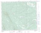
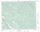
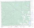
Maps showing Lick Creek, 38-9-W5, Alberta
Lick Creek is a River located in 38-9-W5, Alberta and has an elevation of 1283 meters.
- Latitude: 52° 15' 5'' North (decimal: 52.2513889)
- Longitude: 115° 17' 54'' West (decimal: -115.2983332)
- Topography Feature Category: River
- Geographical Feature: Creek
- Canadian Province/Territory: Alberta
- Elevation: 1283 meters
- Location: 38-9-W5
- Atlas of Canada Locator Map: Lick Creek
- GPS Coordinate Locator Map: Lick Creek Lat/Long
Lick Creek NTS Map Sheets