Canada Topographic Maps

Little Bow River Topo Maps

Topography maps and Latitude/Longitude Location

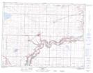
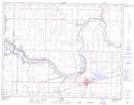
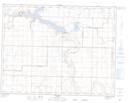
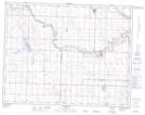
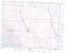
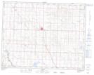
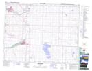
Maps showing Little Bow River, 2-11-19-W4, Alberta

Little Bow River is a River located in 2-11-19-W4, Alberta and has an elevation of 801 meters.

  • Latitude: 49° 53' 17'' North   (decimal: 49.8880555)
  • Longitude: 112° 28' 31'' West   (decimal: -112.4752777)
  • Topography Feature Category: River
  • Geographical Feature: River
  • Canadian Province/Territory: Alberta
  • Elevation: 801 meters
  • Location: 2-11-19-W4
  • Atlas of Canada Locator Map: Little Bow River
  • GPS Coordinate Locator Map: Little Bow River Lat/Long

Little Bow River NTS Map Sheets

082H15 Picture Butte Topographic Map at 1:50,000 scale

082H16 Taber Topographic Map at 1:50,000 scale

082I02 Travers Topographic Map at 1:50,000 scale

082I03 Carmangay Topographic Map at 1:50,000 scale

082I05 Nanton Topographic Map at 1:50,000 scale

082I06 Vulcan Topographic Map at 1:50,000 scale

082I12 High River Topographic Map at 1:50,000 scale

082H Lethbridge Topographic Map at 1:250,000 scale

082I Gleichen Topographic Map at 1:250,000 scale

 
Buy Topographic Maps DVD
Newsletter Sign-up

Yes, I want to receive map store discounts.


Bookmark and Share