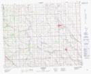
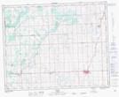
Maps showing Barrie Lake, Alberta
Barrie Lake is a Lake located in Alberta and has an elevation of 1018 meters.
- Latitude: 51° 46' North (decimal: 51.7666999)
- Longitude: 114° 11' West (decimal: -114.1832999)
- Topography Feature Category: Lake
- Geographical Feature: Lake
- Canadian Province/Territory: Alberta
- Elevation: 1018 meters
- GPS Coordinate Locator Map: Barrie Lake Lat/Long
Barrie Lake NTS Map Sheets