Canada Topographic Maps

Municipal District of Provost No. 52 Topo Maps

Topography maps and Latitude/Longitude Location

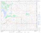
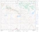
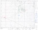
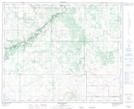
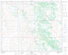
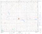
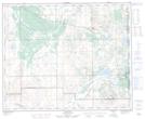
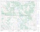
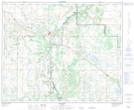
Maps showing Municipal District of Provost No. 52, 39-5-W4, Alberta

Municipal District of Provost No. 52 is a Major municipal/district area - major agglomeration located in 39-5-W4, Alberta.

  • Latitude: 52° 24' 17'' North   (decimal: 52.4047222)
  • Longitude: 110° 39' 19'' West   (decimal: -110.6552777)
  • Topography Feature Category: Major municipal/district area - major agglomeration
  • Geographical Feature: Municipal District
  • Canadian Province/Territory: Alberta
  • Location: 39-5-W4
  • Atlas of Canada Locator Map: Municipal District of Provost No. 52
  • GPS Coordinate Locator Map: Municipal District of Provost No. 52 Lat/Long

Municipal District of Provost No. 52 NTS Map Sheets

073D01 Bodo Topographic Map at 1:50,000 scale

073D02 Neutral Hills Topographic Map at 1:50,000 scale

073D03 Coronation Topographic Map at 1:50,000 scale

073D06 Brownfield Topographic Map at 1:50,000 scale

073D07 Czar Topographic Map at 1:50,000 scale

073D08 Provost Topographic Map at 1:50,000 scale

073D09 Chauvin Topographic Map at 1:50,000 scale

073D10 Hughenden Topographic Map at 1:50,000 scale

073D11 Hardisty Topographic Map at 1:50,000 scale

073D Wainwright Topographic Map at 1:250,000 scale

 
Buy Topographic Maps DVD
Newsletter Sign-up

Yes, I want to receive map store discounts.


Bookmark and Share