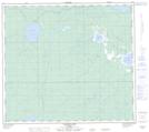
Maps showing L'Hirondelle, Alberta
L'Hirondelle is a Unincorporated area located in Alberta.
- Latitude: 56° 26' 10'' North (decimal: 56.4360999)
- Longitude: 116° 6' 30'' West (decimal: -116.1083000)
- Topography Feature Category: Unincorporated area
- Geographical Feature: Hamlet
- Canadian Province/Territory: Alberta
- GPS Coordinate Locator Map: L'Hirondelle Lat/Long
L'Hirondelle NTS Map Sheets