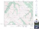
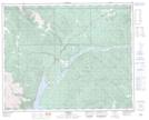
Maps showing Littlehorn Creek, 39-18-W5, Alberta
Littlehorn Creek is a River located in 39-18-W5, Alberta and has an elevation of 2253 meters.
- Latitude: 52° 23' 6'' North (decimal: 52.3849999)
- Longitude: 116° 28' 43'' West (decimal: -116.4786111)
- Topography Feature Category: River
- Geographical Feature: Creek
- Canadian Province/Territory: Alberta
- Elevation: 2253 meters
- Location: 39-18-W5
- Atlas of Canada Locator Map: Littlehorn Creek
- GPS Coordinate Locator Map: Littlehorn Creek Lat/Long
Littlehorn Creek NTS Map Sheets