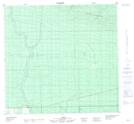
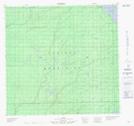
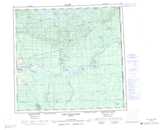
Maps showing Beaver Ranch Creek, 109-10-W5, Alberta
Beaver Ranch Creek is a River located in 109-10-W5, Alberta and has an elevation of 252 meters.
- Latitude: 58° 26' 23'' North (decimal: 58.4397222)
- Longitude: 115° 34' 28'' West (decimal: -115.5744444)
- Topography Feature Category: River
- Geographical Feature: Creek
- Canadian Province/Territory: Alberta
- Elevation: 252 meters
- Location: 109-10-W5
- Atlas of Canada Locator Map: Beaver Ranch Creek
- GPS Coordinate Locator Map: Beaver Ranch Creek Lat/Long
Beaver Ranch Creek NTS Map Sheets